


Hema Maps Jamieson-Licola - MAP6096
SKU: ME20175
Part Number. MAP6096
CLEARANCE PRODUCT PRICING APPLIES TO ONLINE ORDERS AND SELECTED STORES ONLY.
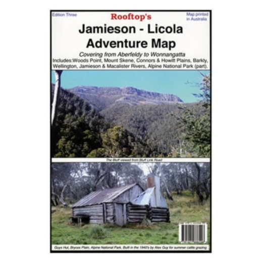
A map that covers from Aberfeldy to Wonnangatta, including Woods Point, Mount Skene, Alpine National Park, Wellington, Jamieson, Macalister and Thomson Rivers, Connors and Howitt Plains. Read more...
A map that covers from Aberfeldy to Wonnangatta, including Woods Point, Mount Skene, Alpine National Park, Wellington, Jamieson, Macalister and Thomson Rivers, Connors and Howitt Plains. Read more...
$12.99
 Check Suitability
Added to Your Cart
Product Availability by Store Location
Hours
Buy now, Pay later options
Delivery Options:
Expand to view your delivery options
Click & Collect (Not Available)
Delivery (Not Available)
The Hema Maps Jamieson-Licola - MAP6096 is your indispensable companion for exploring the rugged beauty and diverse terrain stretching from Aberfeldy to Wonnangatta in Victoria, Australia. Designed to be your trusted guide, this meticulously detailed map covers a vast area, encompassing key landmarks and remote wilderness regions alike.
From the historic goldfields of Woods Point to the pristine wilderness of Alpine National Park, every twist and turn of your journey is meticulously charted on this comprehensive map. Traverse the majestic slopes of Mount Skene, venture along the meandering paths of the Macalister and Thomson Rivers, and immerse yourself in the tranquil serenity of Connors and Howitt Plains.
Part number: MAP6096


Hema Maps Jamieson-Licola - MAP6096
$12.99
Added to Your Cart
Product Availability by Store Location
Hours